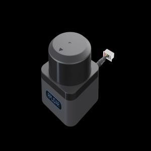
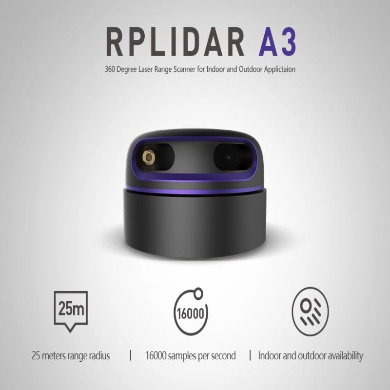
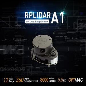
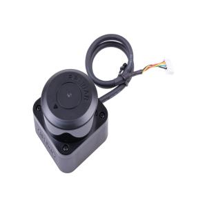
The RPLiDAR A3M1 utilizes a triangulation laser sensing mechanism to perform 360° scans, generating detailed 2D point cloud data. With a 25-meter range, it provides accurate distance measurements, making it suitable for various applications, including:
Robotics: Enabling autonomous navigation and obstacle avoidance.
SLAM (Simultaneous Localization and Mapping): Assisting in real-time mapping and localization tasks.
Environmental Modeling: Creating detailed 2D maps of environments for analysis and simulation.
Key features include:
High Sampling Rate: Up to 16,000 samples per second, ensuring rapid data acquisition.
Long Operational Life: Capable of running for extended periods, offering durability and reliability.
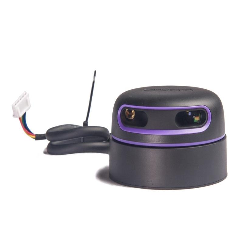
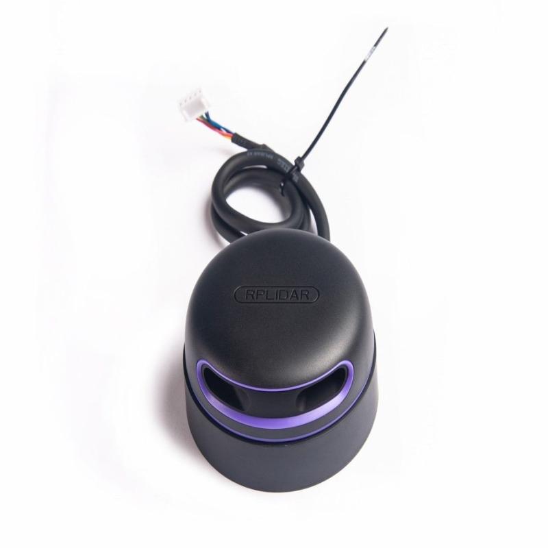
Compact Design: Facilitates easy integration into various systems and platforms.
OPTMAG Technology: Equipped with SLAMTEC's patented OPTMAG technology, it overcomes the life limitations of traditional LIDAR systems, ensuring stable long-term operation.
The RPLiDAR A3M1 is compatible with various development platforms and supports multiple communication interfaces, making it a versatile choice for developers and engineers working on advanced mapping and localization projects.